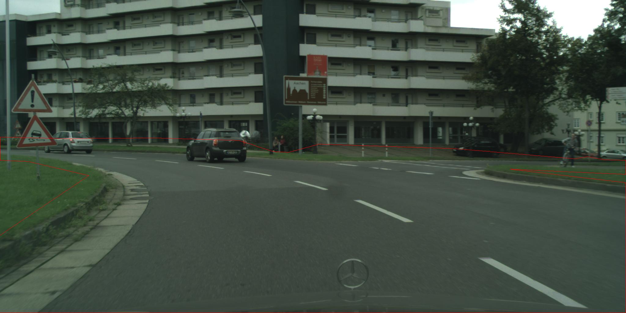
cityscape数据集,我现在想根据json文件中的polygon画出整个road的区域,这是运行的脚本。这个文件必须使用coco的pythonAPI的包,把这个脚本放在pythonAPI文件夹下就可以运行。
from pycocotools import mask as maskUtils
import numpy as np
import json
import matplotlib.pyplot as plt

import Image,ImageDraw


with open('aachen_000000_000019_gtFine_polygons.json', 'r') as f:
    data = json.load(f)

# print data['objects'][2]
l = []
for i in data['objects'][0]['polygon']:
    l.extend(i)


img = Image.open("aachen_000000_000019_leftImg8bit.png")
draw = ImageDraw.Draw(img)
length = len(l)
print length
x1 = l[0]
y1 = l[1]
for i in range(1,length/2):
    x2 = l[i*2]
    y2 = l[i*2 + 1]
    draw.line(((x1,y1),(x2,y2)),fill=255)
    x1 = x2
    y1 = y2
img.save("cross_line.jpg")

rles = maskUtils.frPyObjects([l], data['imgHeight'], data['imgWidth'])
rle = maskUtils.merge(rles)
m = maskUtils.decode(rle)
plt.imshow(m)
plt.savefig("filename.png")
plt.show()

这是画出的polygon的范围

这个是根据后面的一些代码直接画出区域
1.plt.imshow(m)后面加plt.show(),不然画不出来
2.plt.savefig("filename.png")必须在plt.show前面,在后面就保存为全白色的图片
3.polygon其实就是线段,所以可以直接通过读取坐标画线就可以